| landscape
design
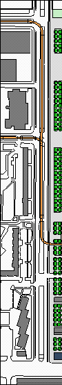
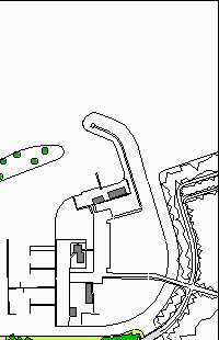
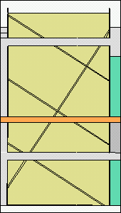
the site is divided into four strips [urban space, peat garden, recreational spaces, park] along the southern shoreline of the sloterplas. the main direction of movement is orthogonal to these strips [east-west], parallel to the shoreline, thus enforcing movement through the different areas. the route is split up into tram line and two pedestrian / bicycle paths, one of them next to the shoreline, the other one marking the of the partly removed dam. in the west, the new Meer en Vaart promenade is introduced, connecting subcenters north and south of the site. in the north it ends with a helicopter pad and a landing stage for trips around the sloterplas. |
||
| urban space
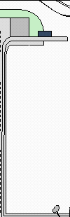
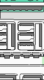
this space is accessed through the new Meer en Vaart promenade, linking it with the small center in the south and the vast shopping complex in the north. it will be the junction of all programmes and functions on the axes which intersect here. additionally, in order to create a public, it is made the location of the tram stop, bicycle sheds and the AUP pavillion. the southern part of this space provides parking space for about 160 cars, whilst the northern part forms a square in front of the pavillion. |
||
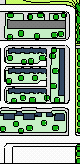
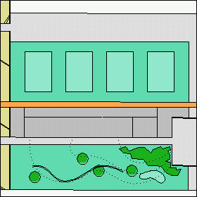
| peat garden
the ground level of the peat garden is lowered by half a meter and surrounded by a low wall, making it appear to be a rather large exhibit of indigenous landscape. the paths are reduced to their required minimum widths and continue as little boardwalks through the garden. the direction of the polders [canals] is in accordance with the direction in older maps. as the garden is essentially artificial, there was no need to stick to the rules and direct the polders orthogonally towards the water, as is usually done. |
||
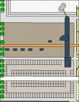
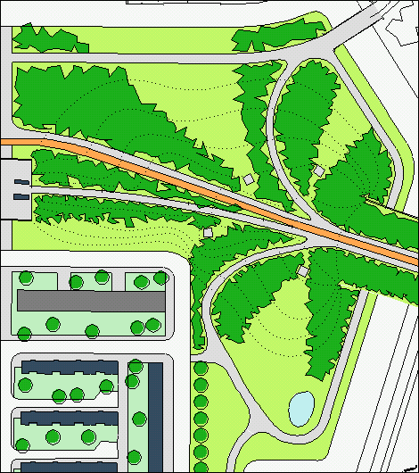
| recreational spaces
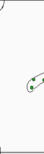
there are are a variety of different smaller spaces for various activities. next to the promenade there is a stretch of lawn with sports fields for various games. the northern side of the dam is cut away in oreder to form a sharp edge, contrasting with the sloped forms of the park. an artificial landscape of ramps is put into its place, sloping up the other way [skaters delight]. on the other side of the dam an adventure playground is inserted. |
||
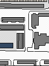
| park
the ground won by removing parts of the dam is used to transform this part of the dam into a very small gently-sloped hill, mimicking the lively landscape of the sloterpark. the hill is covered with rather low vegetation [man-size bushes] - only four view-platforms allow ditinct views into the neighbouring spaces. in the south the park narrows into a corridor [the green space that used to be here is replaced by an extension of the adjacent residential area]. the corridor continues south underneath the Calandlaan, where it accesses another park, linking it with the green spaces further north. |
||
 |
 |
 |
 |
 |
|||||
 |
 |
 |
 |
 |
|||||
 |
 |
 |
 |
||||||
 |
|||||||||
 |
|||||||||
 |
|||||||||
 |
|||||||||
 |
|||||||||
 |
|||||||||